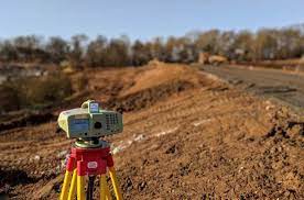
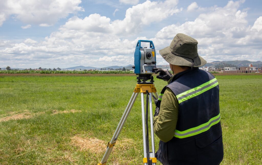
A Land Surveyor Course is a professional training program designed to teach the principles and techniques of surveying land, measuring distances and angles, and mapping the earth’s surface. The course prepares individuals for careers in civil engineering, construction, real estate, and infrastructure development.
A Land Surveyor Course
The course provides knowledge of surveying instruments, data collection, GIS (Geographic Information Systems), GPS technology, and CAD-based mapping. Students learn to determine property boundaries, prepare topographic maps, and conduct site analysis for engineering and architectural projects.
Subjects Covered
Principles of Surveying
Leveling and Contouring
Total Station and GPS Survey
Remote Sensing and GIS
Construction and Route Surveying
Data Processing and AutoCAD
Career Opportunities
Graduates can work as Land Surveyors, GIS Technicians, Mapping Specialists, Civil Engineering Assistants, or Construction Supervisors. They are employed by government departments, infrastructure companies, and private surveying firms.
Certifications and Software
Training often includes software such as AutoCAD Civil 3D, ArcGIS, and Trimble Business Center. Some institutions offer certifications approved by Survey of India or national technical boards.